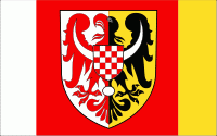
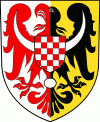
Jawor County (powiat jaworski) is a unit of territorial administration and local government (powiat) in Lower Silesian Voivodeship, south-western Poland. It came into being on January 1, 1999, as a result of the Polish local government reforms passed in 1998. The county covers an area of 581.2 km2. Its administrative seat is the town of Jawor; the only other town in the county is Bolków.
As of 2019 the total population of the county is 50,315, out of which the population of Jawor is 22,890, the population of Bolków is 4,990, and the rural population is 22,435.
Jawor County is bordered by Legnica County to the north, Środa Śląska County to the east, Świdnica County to the south-east, Wałbrzych County and Kamienna Góra County to the south, and Jelenia Góra County and Złotoryja County to the west.